Product Information
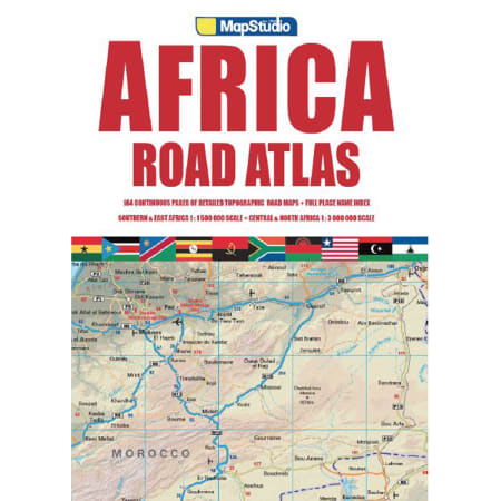
Coverage of the Road Atlas Africa includes all African countries and the Indian Ocean Islands at scales of 1:1 500 000 and 1:3 000 000. Southern Africa at 1.5 million, 130 pages Northern Africa at 3 million and Indian Islands 62 pages. Includes Madagascar, Comores, Mauritius and Seychelles.
- ALPHABETICAL QUICKFINDER
- COUNTRIES COVERED - All African countries including Indian Ocean Islands
- Keyplan to atlas section
- Southern and East Africa at 1:1 500 000
- Northern and Central Africa at 1: 3 000 000
- Includes Madagascar, Comores, Mauritius and Seychelles
- Statistics: Country, capital city, flag, size and population
- Information centres and police stations
- Major, main, tarred and untarred roads
- Places of interest and historic sites
- Distance markers and distances
- Selected accommodation
- Airports and airfields
- Detailed index
- Railway lines
- Battle sites
- Distance chart
- Area and capital name
- Relief detail


